Full-acreage data your agronomist can act on
Survey flights delivered quickly and professionally. Condition reads no cab or ground crew can provide.
Multiple outputs. One flight.
Field-condition reads
Rapid file delivery
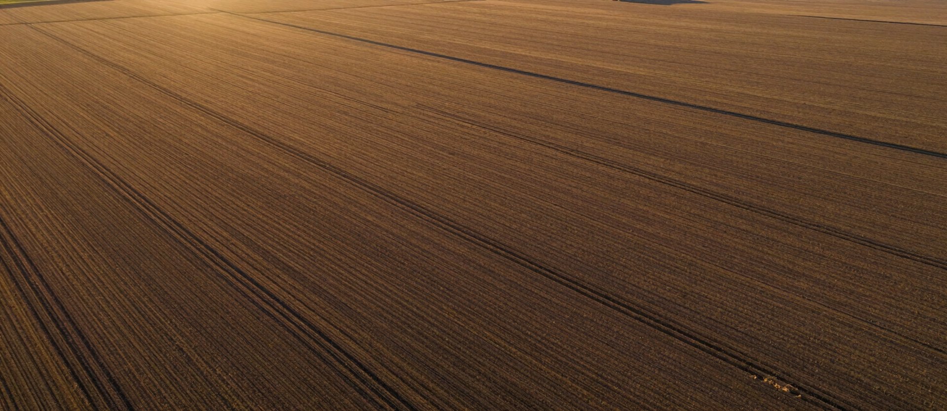
Natural-daylight and golden-hour capture reveals crop stress, drainage patterns, and bare spots at resolution no cab-mounted camera reaches from the ground.
Files hit your inbox expeditiously. No lab queue, no week-long wait — your crew has the data quickly.

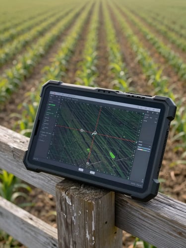
Data your team can use at the field edge
Orthographic stills, acreage measurements, and condition overlays — all geo-referenced and ready to drop into your existing management platform.
We fly the full parcel in a single session. You get a complete picture of field conditions before the next planting or treatment decision.
Ready to map your acreage?
Tell us your parcel size and target date. We confirm a flight window and deliver.
Pages
Home
Services
Portfolio
About
Contact
Get on the schedule
Available Mon–Sat
Serving South Central Pennsylvania and surrounding areas.
(C) 2026 Dad and Dude Drone Ops, LLC
Dad and Dude Drone Ops offers technological solutions and services for capturing aerial data. Dad and Dude Drone Ops is not a licensed engineering or land surveying firm and does not employ licensed professional engineers or land surveyors. All information on this website, including text, graphics, images, and other materials, is meant for general informational purposes only. This information is not suitable for any specific context or situation. It does not serve as a replacement for licensed professional engineering or land surveying services, nor is it an offer to provide such services.
Privacy Policy
Terms & Conditions


Fully Licensed and Insured