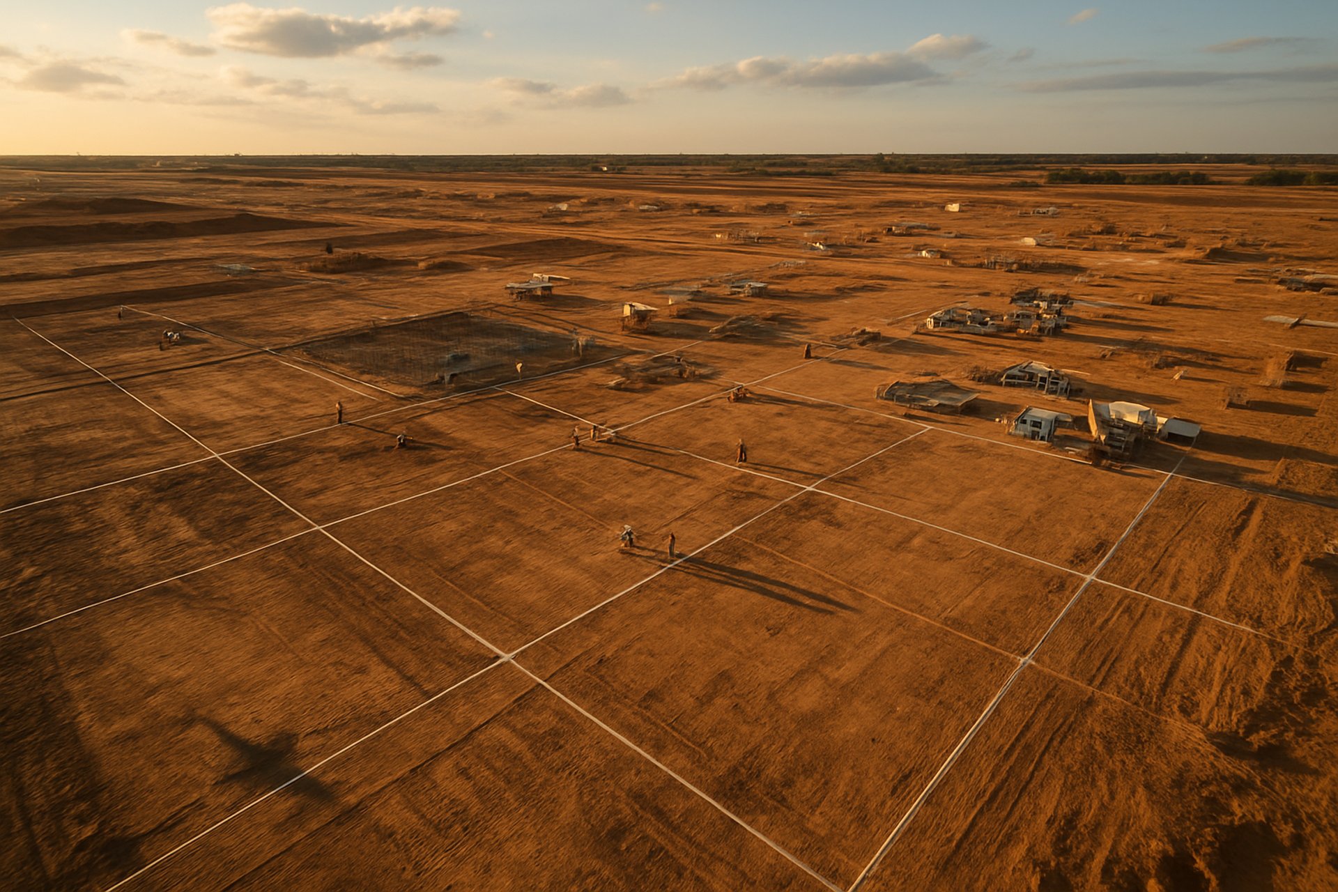
Precision mapping and site documentation — one team, every job
Construction, agriculture, real estate, events. Each engagement delivers crew-ready files on the day of the flight.


Pick your job type
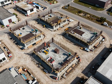
Construction & Mapping
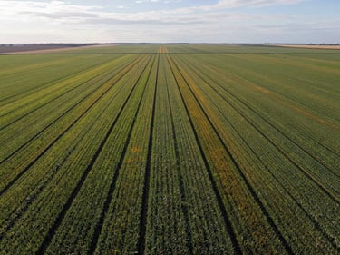
Agricultural Surveys
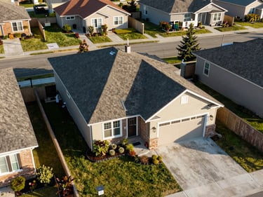
Real Estate
Events & Community
Weekly site progress flights, 2D orthomosaics, and 3D point-cloud models. Files formatted for your project management platform.
Acreage documentation, canopy health mapping, and drainage analysis. Georeferenced outputs ready for agronomist review.
Property aerials and lot boundary overviews delivered as high-resolution stills and edited video walk-arounds for listings.
Car shows, community gatherings, and outdoor venues. Overhead photo sets and edited highlight reels delivered the same day.
48 hour file delivery
Formats your team uses
Two operators, one call
Processed outputs — maps, orthos, photos, or video — are transferred to your team within 48 hours of flight completion.
JPEG-RAW, MP4 or full-resolution JPEG — matched to the software your project manager or listing agent already runs.
Precision mapping and visual documentation from the same licensed team. No subcontracting, no handoffs, no gaps in accountability.
Proof is in the portfolio
Three years of construction sites, agricultural plots, and event grounds. Browse completed work by industry before you make the call.
Pages
Home
Services
Portfolio
About
Contact
Get on the schedule
Available Mon–Sat
Serving South Central Pennsylvania and surrounding areas.
(C) 2026 Dad and Dude Drone Ops, LLC
Dad and Dude Drone Ops offers technological solutions and services for capturing aerial data. Dad and Dude Drone Ops is not a licensed engineering or land surveying firm and does not employ licensed professional engineers or land surveyors. All information on this website, including text, graphics, images, and other materials, is meant for general informational purposes only. This information is not suitable for any specific context or situation. It does not serve as a replacement for licensed professional engineering or land surveying services, nor is it an offer to provide such services.
Privacy Policy
Terms & Conditions


Fully Licensed and Insured