— Four Service Lines

Precision mapping and site documentation — one team, every job

Construction, agriculture, real estate, events. Each engagement delivers crew-ready files on the day of the flight.

Overhead orthographic view of a commercial construction site mid-build, concrete foundations and steel framing visible from directly above, site access roads and staging areas in natural daylight
Wide aerial view of agricultural fields in full season, crop rows visible with subtle variation in canopy color indicating health zones, flat horizon and natural overcast daylight
Overhead perspective of a residential property showing roofline, landscaping, driveway, and lot boundary in clear afternoon light, surrounding neighborhood visible at frame edges
Elevated wide-angle shot of an outdoor car show in a large parking area, rows of vehicles visible from above in natural daylight, attendees as small figures between the cars
/ What We Deliver

Pick your job type

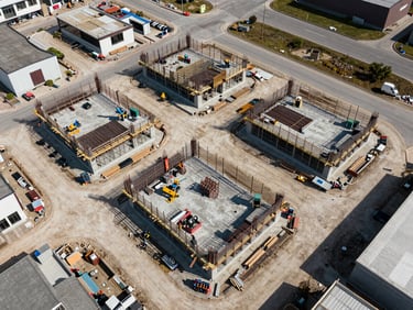
Construction & Mapping

Agricultural Surveys
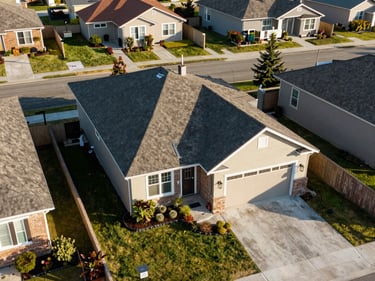
Real Estate

Events & Community

Weekly site progress flights, 2D orthomosaics, and 3D point-cloud models. Files formatted for your project management platform.

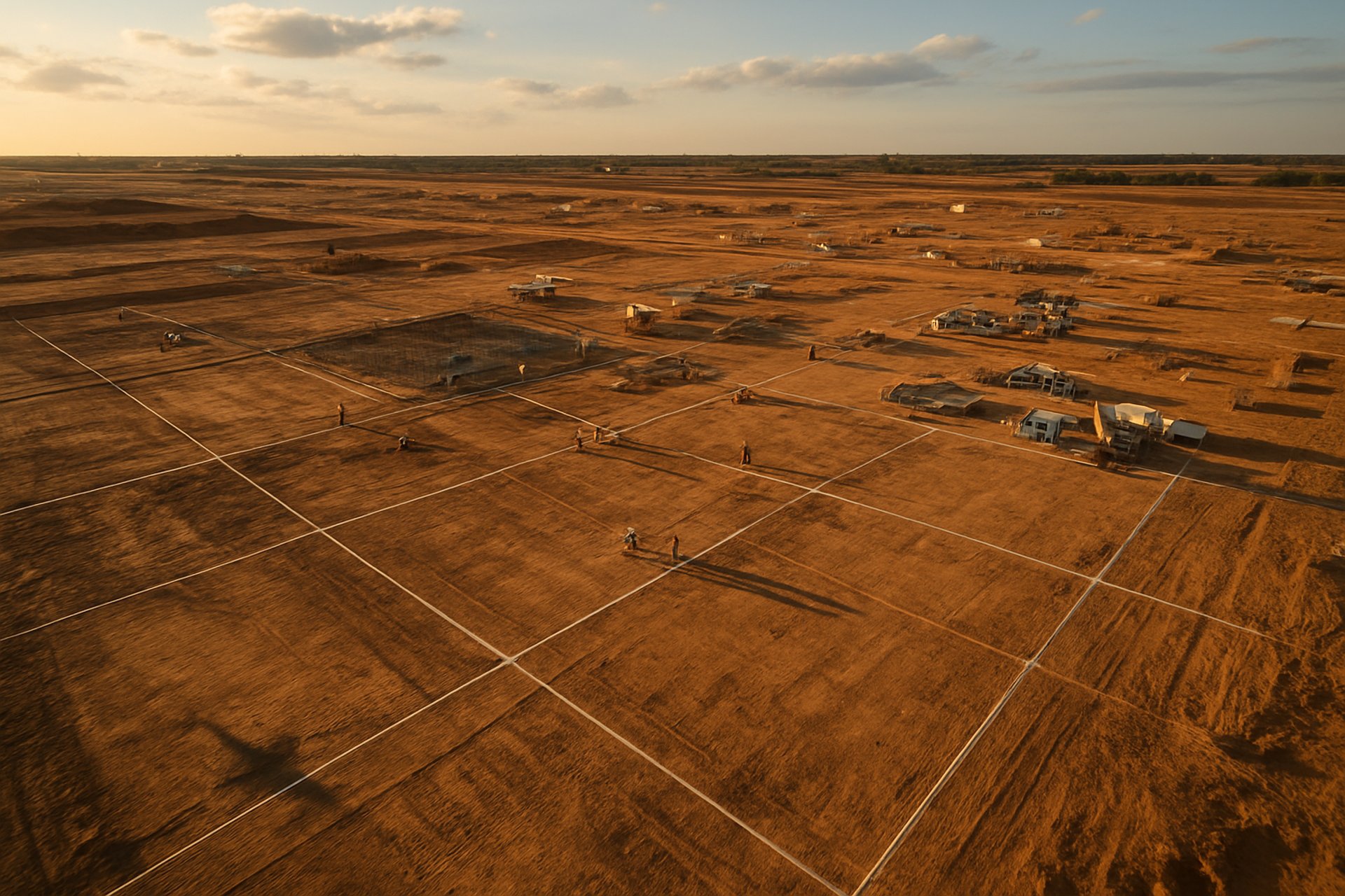
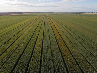
Acreage documentation, canopy health mapping, and drainage analysis. Georeferenced outputs ready for agronomist review.

Property aerials and lot boundary overviews delivered as high-resolution stills and edited video walk-arounds for listings.

Car shows, community gatherings, and outdoor venues. Overhead photo sets and edited highlight reels delivered the same day.

Same-day file delivery

Formats your team uses

Two operators, one call

Processed outputs — maps, orthos, photos, or video — are transferred to your team before we leave the site.

GeoTIFF, DWG, MP4, or full-resolution JPEG — matched to the software your project manager or listing agent already runs.

Precision mapping and visual documentation from the same licensed team. No subcontracting, no handoffs, no gaps in accountability.

Proof is in the portfolio

Three years of construction sites, agricultural plots, and event grounds. Browse completed work by industry before you make the call.